Common Search Terms:
Marshall University News
What's happening at Marshall University
Recent Moments
 Dual Credit programs give high school students a head start
Feb 17, 2025
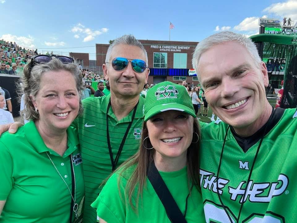
 A Marshall trio
Feb 17, 2025
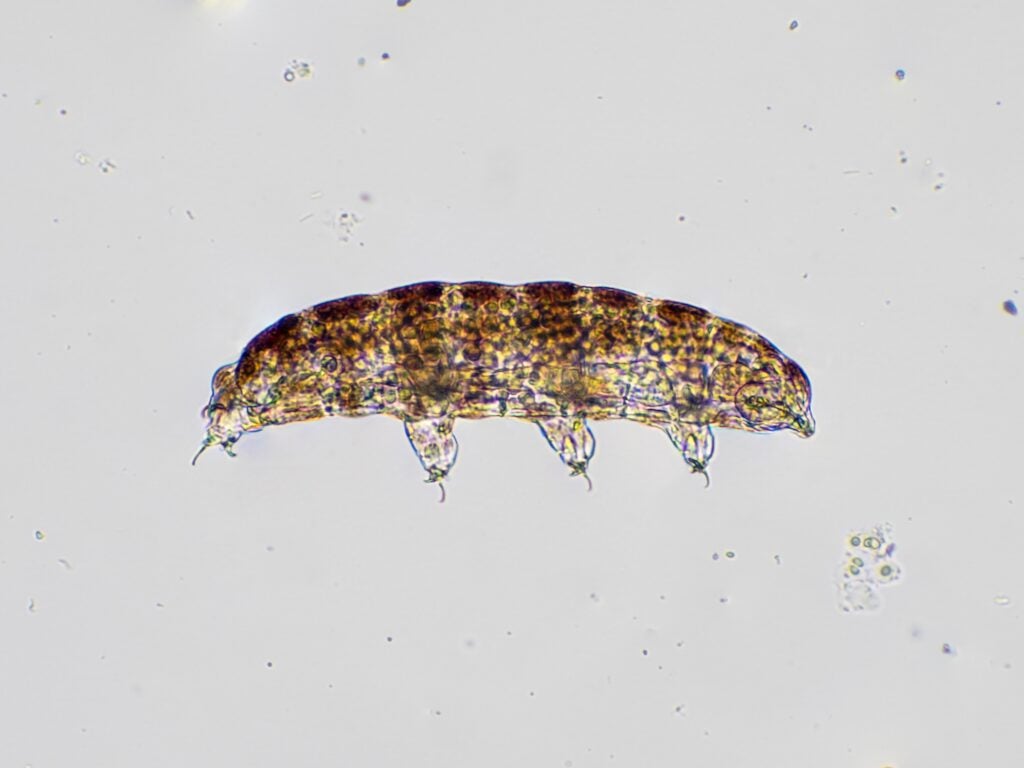 Big Success from Small Creatures
Feb 10, 2025
 Inspiring change in Appalachia
Jan 16, 2025
 Marshall alum’s film wins best narrative feature at Montana festival
Dec 8, 2024
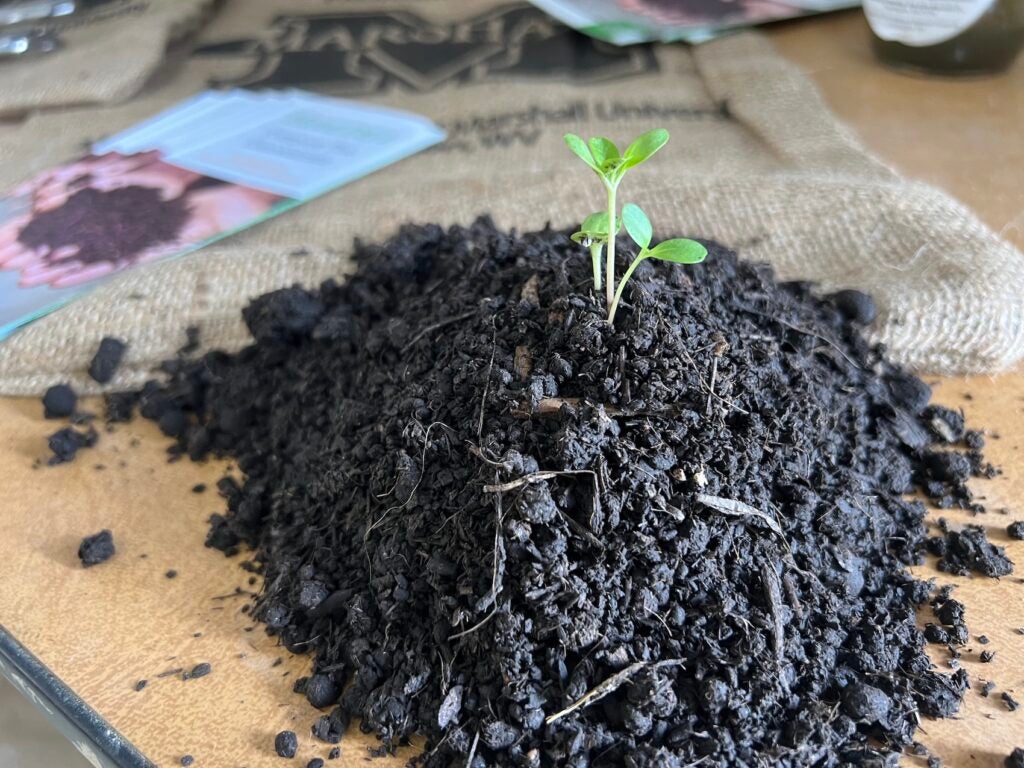 Seeds of Innovation
Nov 25, 2024
 Serving as the president’s strategic partner
Nov 18, 2024
Upcoming Events
Black History Month Power Hour
February 07
Students,
Faculty & Staff,
Alumni,
General Public,
Prospective Students
HOME Framework Training with Marshall Online
February 28
Faculty & Staff
Crafts Rock!
February 28
Students
Marshall University Baseball vs FDU
February 28
56th Annual Winter Jazz Festival
February 26
Marshall University Women’s Basketball vs Georgia State
February 28
HerdCon Song Along
February 28
Marshall University Men’s Basketball vs App State
February 28
Marshall Rec Indoor Triathlon
March 01
Students,
Faculty & Staff,
Alumni,
General Public,
Prospective Students
HerdCon
March 01
Recent News Releases
Featured Videos


More News
College of Arts and Media
Marshall to present 56th Annual Winter Jazz Festival
February 18, 2025
Marshall to host Poets & Portraits at First Baptist Church of Huntington
February 12, 2025
Marshall faculty members to present ‘Jazz Connections’ recital
January 22, 2025
College of Business
Marshall welcomes Harvard Business School students
October 15, 2024
Tricia Ball returns to Marshall to lead the iCenter
October 2, 2024
Eng named interim dean of the Lewis College of Business
July 11, 2024
College of Education and Professional Development
Iconic West Virginia schoolhouse named to National Schoolhouse Register
February 24, 2025
Tickets on sale for seventh annual TEDxMarshallU event
December 18, 2024
College of Engineering and Computer Sciences
Marshall University to host 5th annual Cyber Safety Summit on Nov. 20
November 18, 2024
MU Cyber Team places eighth in Emagine The Future cyber competition
November 6, 2024
College of Health Professions
Marshall University receives gift for renovations to Gullickson Hall
October 10, 2024
Marshall names National Society of ACTA Scholars
May 7, 2024
College of Liberal Arts
Marshall to present readings by faculty authors
January 10, 2025
College of Science
Marshall University dedicates Artemis Moon Tree on Huntington campus
November 19, 2024
Marshall names National Society of ACTA Scholars
May 7, 2024


